
As hurricane season progresses, the National Hurricane Center (NHC) is closely monitoring a new disturbance in the Atlantic Ocean with potential for further development. The system, called Invest 98L, formed off the coast of Africa and has begun to show characteristics consistent with tropical cyclone formation. Meteorologists are analyzing the disturbance for any signs that it could strengthen and pose a threat to land.
What is the current status of the disturbance?
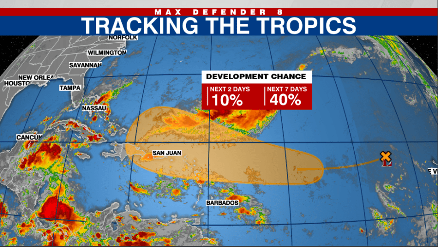
As of the latest updates, the disturbance has a 40% chance of developing into a tropical depression within the next five days. The NHC is keeping a watchful eye on its movement and development, given the significant impacts that could arise from any intensification.
Understanding Invest 98L
Formation and Characteristics
Invest 98L originated from a cluster of thunderstorms in the eastern Atlantic and is tracking westward. The NHC reported that environmental conditions are relatively favorable for development, with warm sea surface temperatures and low wind shear. These factors contribute to a higher likelihood of the system organizing into a tropical cyclone.
Current satellite images from the NHC show the disturbance’s central convection heating up, which indicates the system may be preparing to strengthen. Historical data suggests that disturbances like this usually begin their intensification process when they reach certain thresholds in sea temperature and atmospheric conditions.
| Date | System | Chance of Development | Notes |
|---|---|---|---|
| October 1 | Invest 98L | 40% over 5 days | Tracking west towards the Caribbean |
| October 3 | Tropical Depression | TBD | Potential for further updates |
| October 5 | Tropical Storm | TBD | Impacts on Florida possible |
Predicted Path and Impact
Meteorologists forecast that if Invest 98L develops into a tropical cyclone, it could follow a track towards the Lesser Antilles and potentially the Bahamas. The path remains uncertain, and shifts in the system’s trajectory could affect timing and impact. For now, coastal residents should remain alert and prepare for possible changes in weather patterns.
The Importance of Monitoring Disturbances
The systematic monitoring of potential cyclones is crucial for public safety. The NHC provides regular updates and predictions that help communities prepare for severe weather conditions. Proper storm preparedness includes having an emergency kit, knowing evacuation routes, and staying informed through weather alerts.
Historical Context
Hurricane seasons often bring disturbances, but not all yield significant storms. For instance, in 2020, there were several notable formations, including Hurricane Laura and Hurricane Delta, both of which had widespread impacts across the Gulf Coast. Understanding past storms can help in anticipating future developments and minimizing risk.
| Year | Notable Storms | Category | Impact Areas |
|---|---|---|---|
| 2020 | Laura, Delta | 4 & 2 | Louisiana, Texas |
| 2021 | Elsa, Ida | 1 & 4 | New York, New Jersey |
| 2022 | Danielle, Earl | 1 | Minimal impact |
Preparing for Development
Given the potential for Invest 98L to develop into a more significant storm, residents in affected areas should begin preparations now. The NHC recommends:
- Staying Informed: Follow NHC announcements and local news for updates on the system’s status.
- Emergency Kits: Assemble essentials such as water, non-perishable food, medications, and necessary documents.
- Evacuation Plans: Know your community’s evacuation routes, and have a plan for where to go if advised to evacuate.
Community Awareness
Community organizations play a pivotal role in ensuring that residents understand the risks posed by tropical cyclones. Town meetings, information sessions, and local preparedness campaigns can enhance public awareness about safety measures and response plans.
Conclusion
As the Atlantic Hurricane Season continues, the NHC remains vigilant in monitoring disturbances such as Invest 98L. With a potential for development, it is vital for communities in vulnerable areas to prepare and stay updated. Anticipating storm patterns and understanding the historical context of hurricane activity are essential in reducing risks and ensuring public safety.
Communities should prioritize being informed and prepared as the situation evolves. The NHC will continue to provide updates, and residents should utilize local resources to stay connected and proactive throughout the hurricane season.
| Category | Action Steps | Resources |
|---|---|---|
| Preparedness | Gather supplies, devise plans | NHC website, local emergency services |
| Awareness | Stay updated on weather reports | Local news, social media updates |
| Community | Join local preparedness initiatives | Community groups, local government |
In the coming days, the NHC will issue further advisories based on developments with Invest 98L. Monitoring advancements in the system is crucial, as its track and strength may significantly impact areas in its path. Residents should prioritize safety and remain on high alert as the hurricane season progresses.


 is closely monitoring a new disturbance in the Atlantic Ocean with.....)